
Khairuddin Shadani
CHITRAL: The final design survey for the strategic highway from Chitral to Shah Salim border is in its concluding phase with encouraging news for the region’s connectivity.
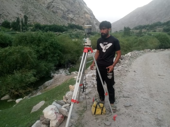
According to NESPAK’s latest survey team report, the previously estimated length of the road was approximately 72 km. However, the fresh survey indicates the revised alignment will reduce this distance to about 68 km.
This four-kilometre reduction is not merely theoretical but reflects a practical engineering improvement. NESPAK’s team explained to ChitralToday that the reduction results from straightening multiple unnecessary curves, optimizing the alignment, and selecting the most efficient route.
This change is expected to lower construction costs and significantly improve travel convenience.
This development also vindicates experts who, in a 1993 survey, highlighted that around 25 km of unnecessary length had been included in the old alignment of the Chitral–Tajikistan corridor. The Prime Minister’s team has acknowledged the past recommendations of local expert Inayatullah Khan Aseer.
The NESPAK team says the final survey report will be released within the next three weeks. It will form the basis for the detailed engineering design and PC-1. The latest survey has employed new digital techniques while considering the region’s socioeconomic and geographical conditions.
Once completed, this highway is expected to become a vital economic, tourism, and trade corridor linking Chitral to Shah Salim and onward to Tajikistan.
With the prime minister’s planned visit to Chitral and oversight by the Inspection Commission, this project is now taking shape as a new geo-economic corridor for Pakistan, promising national security, regional integration, and prosperity for local communities.